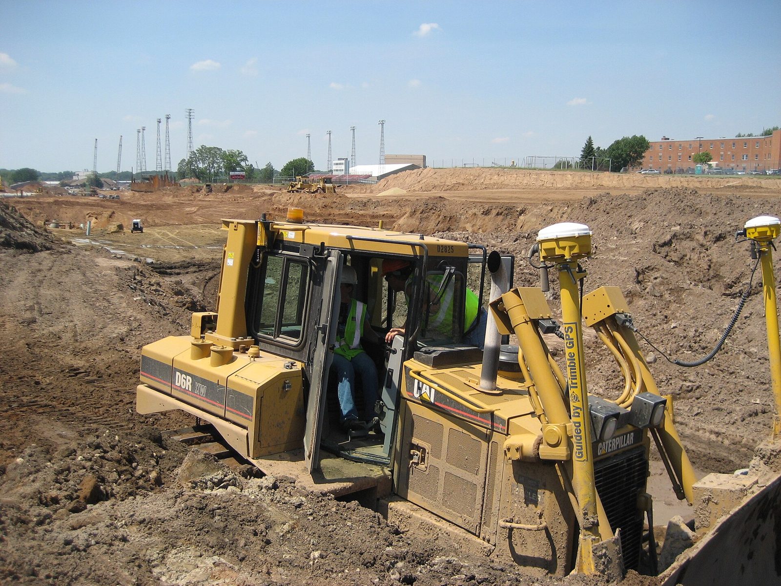
Land Preparation
Site formation measured off your own terrain model. Set the formation level and the engine measures cut and fill cell by cell — or asks the model for the level at which the two balance.
Compute cut and fill against a platform level — or find the level that balances them.
Compute cut and fill against a platform level — or find the level that balances them.
All applicationsfrom $25/month
One subscription, monthly or annual, unlocks every BESPA application. 7 days free, cancel any time. The demo on this page is free to try.
Built for the real job.
Platform level
Set the formation level, or let the engine find the level at which cut equals fill.
Volume computation
Cut and fill measured cell by cell off the terrain grid, with the net volume and its direction reported.
Area of interest
Restrict the computation to a polygon — a platform, a pad or a single block.
Figures you can carry
Platform level, plan area, cut, fill and net volume, to the cubic metre.
Balance a sample site.
Cut, fill and the balance, recalculated as you type. The bulking factor and the rate are this calculator's own arithmetic — the module itself reports cut, fill and net volume against a platform level.
Indicative sample — a simplified calculator, not the module. The module runs on your own data, and the figures and standards it applies are the ones you enter.
Four steps, start to drawing.
- 01Bring in the existing surface from Contouring.
- 02Set the platform level, or ask for the balanced level.
- 03Draw the area of interest if you want only part of the site.
- 04Read off the cut, fill and net volumes for the earthworks bill.
What you take away.
- →Cut, fill and net volumes
- →Balanced platform level
- →Plan area of the computation
- →Figures for the earthworks BOQ line
BESPA Expert Systems is suitable for the preliminary design and feasibility study phase of civil infrastructure projects. Outputs are engineering aids, not certified designs: a qualified professional engineer must check and sign off any output before it is issued for construction.
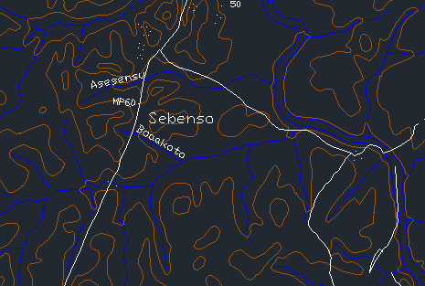
Contouring
Generate precise contour maps from survey data. Read the land before you shape it.

Estate Layout
Fit plots and internal roads to a surveyed boundary, on your own terrain model.
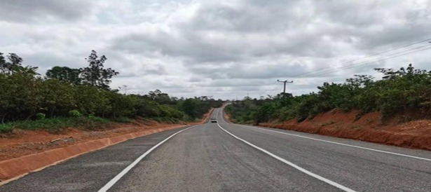
Geometric Road Design (Lite)
A lite alignment module for the roads and streets inside your estate layout — centrelines, grades and cross sections.
Questions on land preparation?
Write to Dr. Kwasi Osafo Ampadu, or use the feedback form on the home page.
Emailinfo@bespa.online