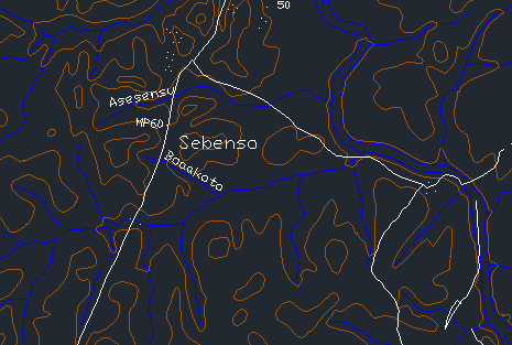
Contouring
Turn raw levels, total-station exports or GPS point clouds into clean, contoured surfaces you can actually design on — interpolated, smoothed and labelled the way a drawing office expects.
Generate precise contour maps from survey data.
Generate precise contour maps from survey data. Read the land before you shape it.
All applicationsfrom $25/month
One subscription, monthly or annual, unlocks every BESPA application. 7 days free, cancel any time. The demo on this page is free to try.
Built for the real job.
Point cloud ingest
Import CSV, DXF or total-station exports of northing, easting and reduced level.
Triangulated surface
Build a TIN over the surveyed ground points — culvert inverts, benchmarks and structures are held out of the surface, not contoured.
Contour generation
Choose minor and major intervals, smoothing and index labelling.
Long & cross sections
Cut sections along any alignment you set, taken off the terrain model.
Contour a sample surface.
Change the interval and relief — the surface is re-contoured live.
Indicative sample — a simplified calculator, not the module. The module runs on your own data, and the figures and standards it applies are the ones you enter.
Four steps, start to drawing.
- 01Upload or paste your survey point data.
- 02Set coordinate system, interval and smoothing.
- 03Review the generated surface and breaklines.
- 04Export contours to DXF, PDF or the earthworks module.
What you take away.
- →Contour map PDF
- →Layered plan DXF
- →GIS grid — ESRI ASCII, GeoTIFF, XYZ
- →Long & cross sections
BESPA Expert Systems is suitable for the preliminary design and feasibility study phase of civil infrastructure projects. Outputs are engineering aids, not certified designs: a qualified professional engineer must check and sign off any output before it is issued for construction.
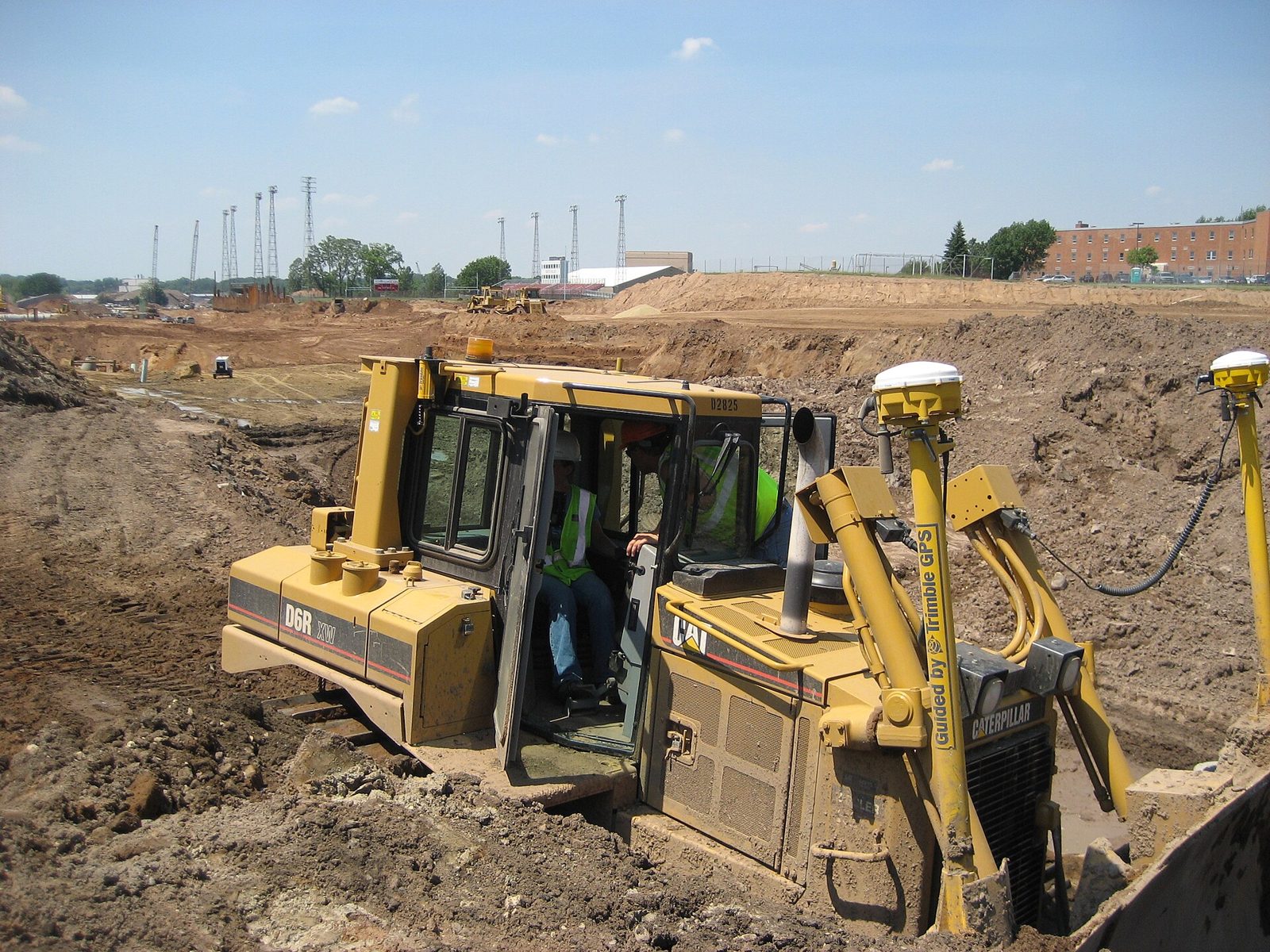
Land Preparation
Compute cut and fill against a platform level — or find the level that balances them.

Estate Layout
Fit plots and internal roads to a surveyed boundary, on your own terrain model.
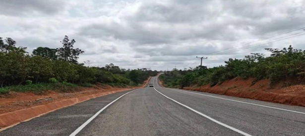
Geometric Road Design (Lite)
A lite alignment module for the roads and streets inside your estate layout — centrelines, grades and cross sections.
Questions on contouring?
Write to Dr. Kwasi Osafo Ampadu, or use the feedback form on the home page.
Emailinfo@bespa.online