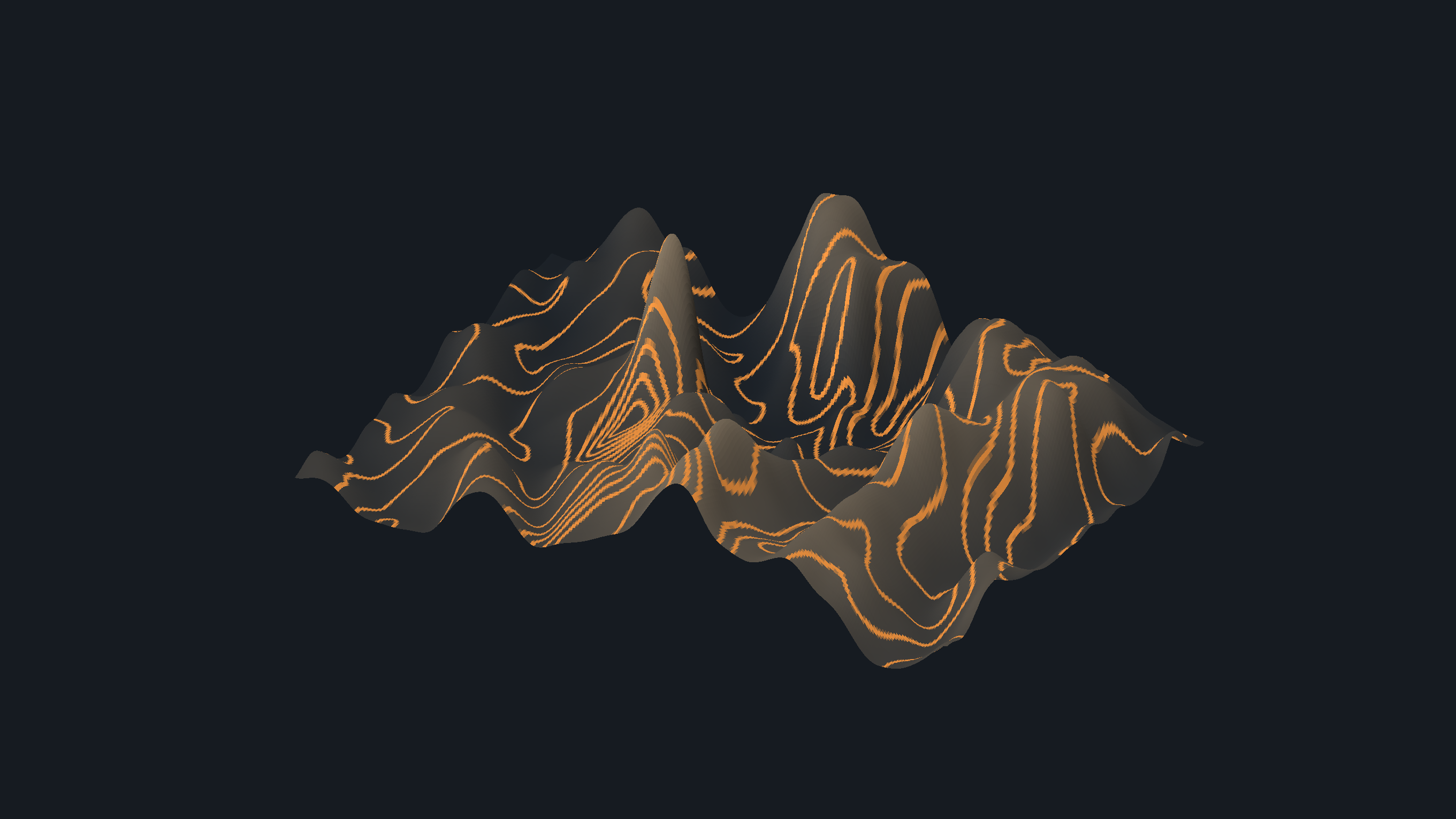
Digital Terrain Modelling
Every land-side task runs off a single terrain model. Build the surface once, then contour it, grade it, subdivide it, run roads over it and drain it — without exporting between packages. BESPA Expert Systems is suitable for the preliminary design and feasibility study phase of civil infrastructure projects. Outputs are engineering aids, not certified designs: a qualified professional engineer must check and sign off any output before it is issued for construction.
All applicationsfrom $25/month
One subscription, monthly or annual, unlocks every BESPA application. 7 days free, cancel any time. The demo on this page is free to try.
One application that carries a site from survey points to contours, earthworks, layout, roads and drainage.
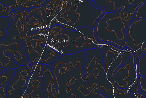
Contouring
Generate precise contour maps from survey data. Read the land before you shape it.
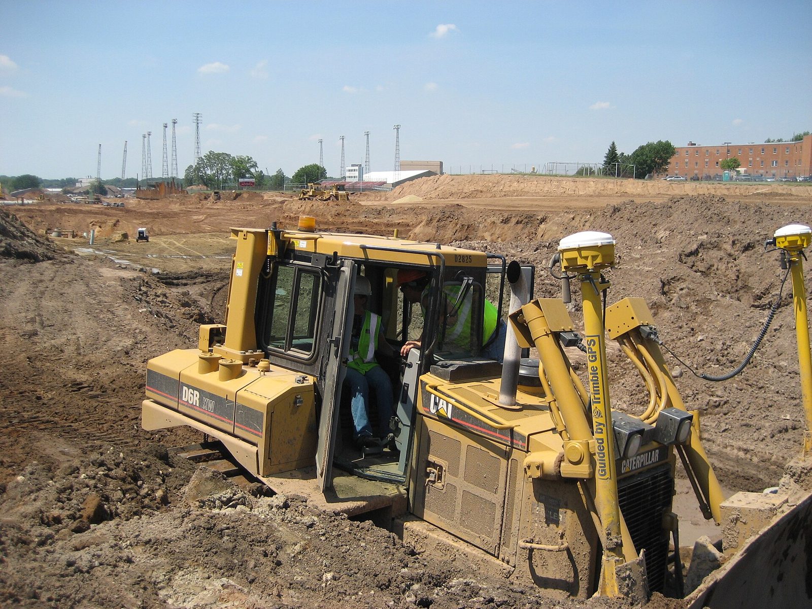
Land Preparation
Compute cut and fill against a platform level — or find the level that balances them.

Estate Layout
Fit plots and internal roads to a surveyed boundary, on your own terrain model.
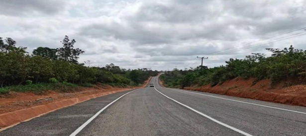
Geometric Road Design (Lite)
A lite alignment module for the roads and streets inside your estate layout — centrelines, grades and cross sections.
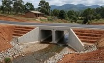
Drainage Design
Size drains and culvert openings from catchment and peak flow — hydraulic sizing only.
Questions on digital terrain modelling?
Write to Dr. Kwasi Osafo Ampadu, or use the feedback form on the home page.
Emailinfo@bespa.online